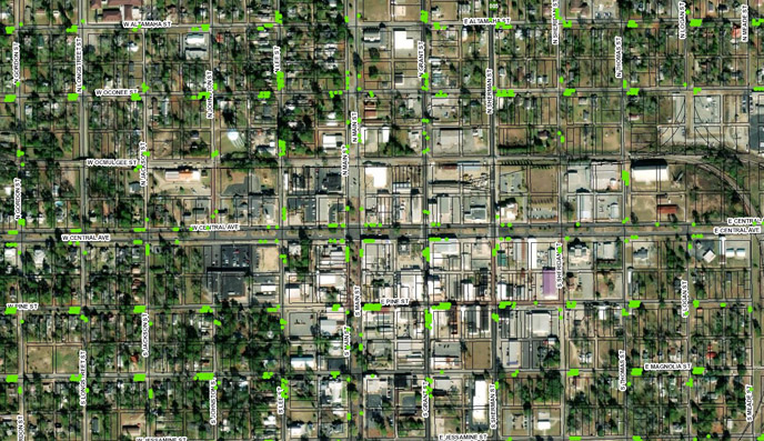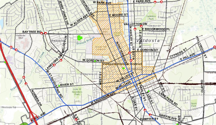
GIS
At Southern Regional Commission, the GIS program is one of the most mature and advanced in the state among RCs. This program develops and maintains geographic information system (GIS) data and applications for governments across Southern Georgia, our state, and even beyond. Examples of GIS activities include geospatial database construction and management, technical spatial data analysis, and map generation to facilitate a better decision making process.
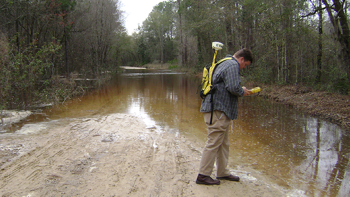
Geographic Information System technology is all about making better decisions through query, analysis and presentation of spatial data. GIS is used extensively in the South Georgia region. Local governments exercise GIS technology and data developed by SGRC to handle everything from monitoring growth and parcel assessment to crime analysis and planning emergency response.